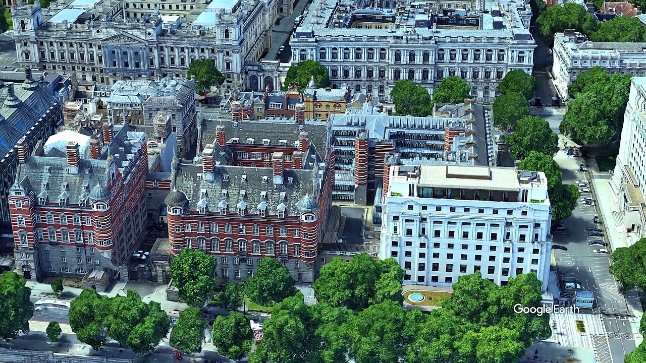
I made a little animation with Google Earth Studio: flight over London and put everything together using Shotcut. The latest features of GES allow for cloud rendering of the video, but is limited to somewhat 10.000 images (=frames) a day. The video is composed out of more than 20.100 images:
Flight over London
2 Likes
This topic was automatically closed after 90 days. New replies are no longer allowed.
