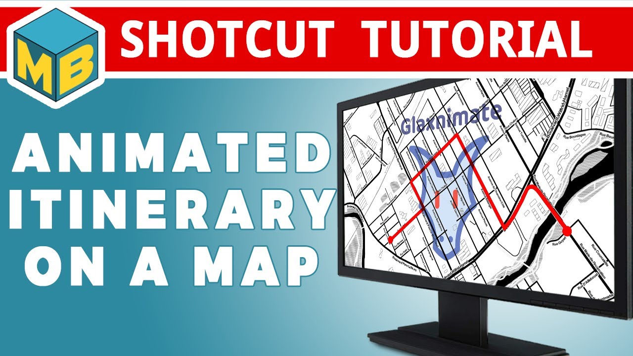
Drawing an animated line that goes from point A to point B is pretty easy with Glaxnimate.
Learn how to do it in this tutorial. The method can be used to do a lot more things than just tracing an itinerary on a map.
Merci pour ce tutoriel comme d’habitude d’une grande qualité, les explications sont très précises et d’une grande utilité.
Thank you for this tutorial as usual of great quality, the explanations are very precise and very useful.
Merci pour ces bons mots @Namna 

Extremely useful! Time for @jonray to update his handwritten signature tutorial! (Although his method with gradient transitions has plenty of uses for other things too.)
I especially liked how you illustrated other uses for the technique at the end as well as showing people around some peripheral attributes of the line drawing within Glaxnimate. The latter helps people to grow their knowledge without the feeling of a full course.
Thanks for a very helpful and informative video.
Excellent tutorial - the easiest one about Glaxnimate to understand that I have seen. The instructions are very clear and precise.
Thanks for the nice comments guys. It’s appreciated
Wow! That has blown me away. A masterclass in Glaxnimate (much needed), but also a masterclass in how to make a fine tutorial. Just terrific, @musicalbox. Everything about that is pure class. Thank you and
BRAVO!
Hello,
Thank you for this tutorial which is precise and well explained, your diction suits me perfectly I do not need a translation to understand your tutorial.
I can’t wait to read the next one, thanks again for your previous tutorials.
Cordially
You are dead right, @Austin ! Back to the drawing board!! ![]()
Thanks to you as well @jonray and @Epsilon85
@Epsilon85 French is also my native language. So I use an online voice over generator in my tutorials. Maybe that’s why it is easier to understand? Subtitles for that tutorial are coming up soon though. In many languages.
@jonray That one gave me lots of trouble. I lost almost half of the video capture I made so I had to make them again. I almost gave up lol
I’m glad you persevered. I was watching all those rectangular highlighting boxes and was thinking - hey that must have taken ages… anyway the result is brilliant. ![]()
![]()
Thank you
All done with Glaxnimate.
Superb! It has great potential…
Thank you for your explanation, “this explains that”.
I also use “TextAloud” for voiceovers, I have two male and female voices in French and a US male voice, it’s very practical, there’s no need to make corrections (time saving) with a recording of our own voice.
Hello. Nice tutorial as said before. Thanks a lot .
If we focus on tracing itiniraries on maps I did a bike trip with a GPS recorder on my phone. Then II wondered how to animate and found this : https://gpx-animator.app/
It needs GPX files, at least 2 hours and I managed to get a video files.
A nice piece of software and what I appreciated was to the possibility to see the evolution of the tripwith its speed variations…but with a lot of parameters. The ache for me was to let the map ‘glide’ to have the end of the itinirary on the centre because it was zoomed
Anyway this is not the purpose of this forum. If you’d like a video of the result I would be happy to show you If you Ask.
Hoorah for you MusicalBox
Thanks to @daniel47 the next version of Shotcut has a filter called GPS Graphic to draw things like route, altitude, speedometer based on a GPX file.
Yes I forgot to watch some tutorial about this new Gps filter. Will do soon.
Shotcut such wonderfully bundled that on my spare time I’m scrolling through filters and re-discovering some and wondering what the hell some of them can do!
Thanks Dan
I had been looking for something like this for years and you explained it very well. I give you full marks, GRAZIE MILLE
